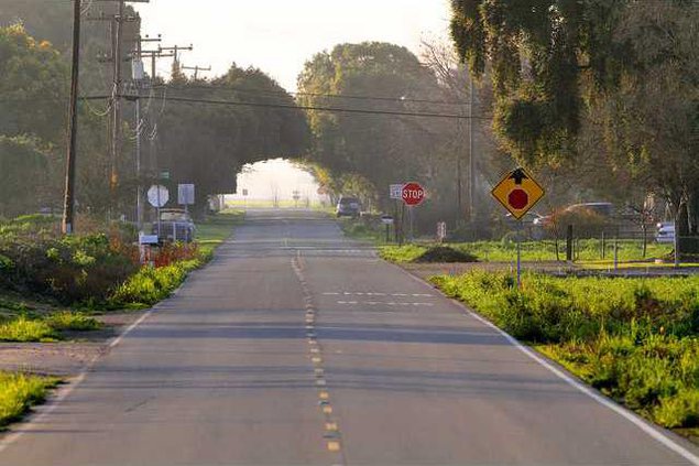
A line is about to be drawn south of Manteca.
It will decide essentially what area ultimately will be urbanized and what area will stay rural.
It also could ultimately determine who will get flooded and who will be spared the next time a levee along the Stanislaus or San Joaquin rivers fail.
The Manteca City Council on Tuesday is considering an agreement with Drake Haglin and Associates for alignments for both the envisioned Antone Raymus Expressway and dry levee. The contract is for $92,002.
Manteca is racing against the clock to get the general design, specific upgrade work identified for existing river levees, and the financing mechanism in place by July 1 to avoid the state shutting down development in areas in the recently designated 200-year floodplain. The overall project could cost $168 million. Manteca’s share is a third of that while the balance is being picked up by Lathrop based on the amount of property exposed to potential flooding.
Manteca is working with Lathrop to get a plan in place since the levees protect both cities as well as the Weston Ranch neighborhood of Stockton and swaths of unincorporated San Joaquin County. Neither Stockton nor the county has stepped up to help with funding although they will also benefit from the improved protection.
City officials said last March that the alignment of the controversial cross-levee protecting Manteca that would leave those to the south of it vulnerable to intense flooding may not be determined until 2017. That’s because the exact alignment isn’t critical to meeting the state’s first benchmark for flood protection.
Preliminary plans shared last year called for the cross levee to be extended across Airport Way and almost all the way to Union Road. It currently stops at a point west of Airport Way and south of Woodward Avenue.
The city decided last year that studies involving the future alignment of the Raymus Express that will connect the envisioned McKinley Avenue interchange on the 120 Bypass with a new interchange on Highway 99 midway between Austin Road and Jack Tone Road will go forward in tandem with discussions on where to place the cross-levee.
The expressway has to be on the north side of the levee to stay out of the floodplain.
Rural residents south of Manteca have major reservations about a levee plowing through their property as well as the expressway. They also fear that the levee will mean when flooding does occur it will be worse on their property since water will be stopped from flowing northward.
Talk so far about financing the work has centered on undeveloped land where houses, retail, and industrial projects will be built. And the big hammer for moving forward has been emphasized as the need to get a plan and financing mechanism in place by July 1 or else the state will stop all development within the 200-year flood plain.
Failure to have a plan in place for levee work also means existing homes and businesses within the 200-year floodplain will not be able to add on to existing buildings or even get a permit for an out structure such as a shed. The same goes for the city’s wastewater treatment plant and Big League Dreams sports complex.
The areas in Manteca that fall into the 200-year floodplain are along much of the Airport Way corridor including an area near Sierra High as well as areas south of the 120 Bypass to a point near Union Road.
The City Council meets at 7 p.m. at the Civic Center, 1001 W. Center St.
Line for flooding, growth
Manteca set to hire firm to determine where it will go


