Atherton Drive in 10 year’s time could intersect both Woodward Avenue and McKinley Avenue twice on opposite ends of South Manteca.
The Manteca general plan - the city’s blueprint for growth - calls for a de facto loop road employing Atherton Drive and a future east-west alignment of McKinley Avenue to connect the next two big development areas in Manteca. That includes the 1,049-acre Austin Road Business Park planned for 8 million square feet of business park space, 3.5 million square feet of general commercial and 4,198 homes in southeast Manteca and Tara Business Park that includes more than 2,500 homes plus a business park in southwest Manteca.
The plan calls for Atherton Drive to start curving south to Woodward Avenue after it crosses McKinley Avenue. It would parallel McKinley Avenue a half mile to the west after it intersects with the western portion of Woodward Avenue that would be stubbed at that point. You would not be able to drive on Woodward Avenue beyond the new alignment of McKinley Avenue that is currently in place. Atherton Drive would continue south of Woodward and then swing back to the east where it would again intersect with McKinley.
McKinley Avenue would run to the east as two lanes until it reaches Main Street. After that McKinley Avenue would become four lanes until it reaches the southern extension of Atherton Drive from where it now T-intersects with Woodard Avenue near Moffat.
After that McKinley would become six lanes until it crosses Highway 99 at a new interchange. It would then run as a two lane road north to Graves Road in an alignment with Prescott Road. Prescott Road doesn’t start until two miles to the north. Ultimately, the gap between Prescott and McKinley at Graves would be connected but not in the foreseeable future.
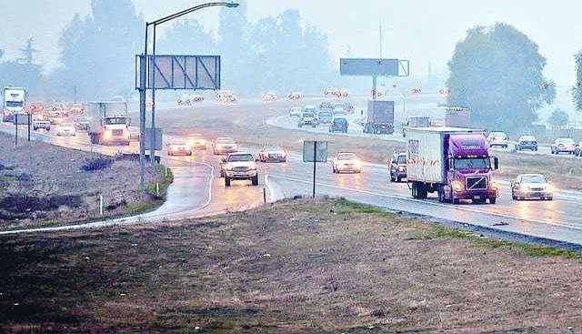
McKinley Avenue clearly plays a pivotal role in the development of south Manteca jobs and housing.
The general corridor where McKinley Avenue will run heading east-west is expected to be settled this year. A number of rural South Manteca residents have expressed strong opposition to the road especially the more southern alignments. Some Manteca residents that live in neighborhoods along Woodward Avenue also object to the street saying it will induce growth.
A third group that may play the most pivotal role in the entire debate are Ripon civic leaders. Since Caltrans has made it clear only one interchange will be built between the existing Austin Road interchange and Jack Tone Road, Ripon would favor an alignment of McKinley Avenue that puts the interchange further south and closer to where they once envisioned at Olive Avenue.
Proposed four and six lane streets
Other major roadway changes the Manteca general plan called for by 2023 includes six lanes on
• McKinley Avenue between a future 120 interchange and Atherton Drive.
• Airport Way between Daniels Street and Atherton Drive.
• Union Road between Daniels Street and Atherton Drive.
• Main Street between Industrial Park Drive and Atherton Drive.
• East Yosemite Avenue between Commerce Drive and Austin Road.
Roadways the plan calls for becoming four lanes include:
• Daniels Street between Costco and McKinley Avenue.
• Airport Way between Daniels Street and Roth Road.
• Airport Way between Atherton Drive and Woodward Avenue.
• Union Road between Del Webb at Woodbridge and Lovelace Road.
• Union Road between Atherton Drive and Woodward Avenue.
• Main Street between Atherton Drive and Tannehill Drive.
• Roth Road between the railroad tracks and Airport Way.
• Lathrop Road between the railroad tracks and Main Street.
• Louise Avenue between the railroad tracks and Airport Way.
• Austin Road between East Highway 120 and the proposed Yosemite Business Park midway between Graves Road and East Yosemite Avenue.
• Austin Road between Highway 99 and a point half a mile south of Palm Avenue.
• Woodward Avenue between Atherton Drive and Austin Road in a new alignment that would swing south and close the current railroad crossing in favor of T-intersecting with Austin Road south of the railroad tracks.
• East Yosemite Avenue (East Highway 120) from Austin Road to the eastern city limits.
• French Camp Road from Union Road to Castle Road.
The aforementioned roads could one day carry major volumes of traffic to accommodate a city on its way from 70,000 residents today to 117,000 residents in 2035. At the same time the number of Manteca-based jobs is expected to jump 50 percent to 21,756.
Those two premises coupled with housing needs was the basis for targeting where major streets should go. Such streets would be designed to carry high volumes of traffic with limited access points to keep the flow moving.
While the city may not reach that population level in the projected time frame due to changes in the economy and growth patterns, it should be noted that Manteca during the 1990s lagged behind growth projections until the boom hit in 2000.
Loop road system in the works
South Manteca growth relies on Atherton-McKinley plan