The City of Lathrop is taking the lead on the formation of a special financing district that will help provide flood protection for a wide swath of San Joaquin County.
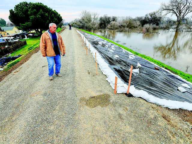
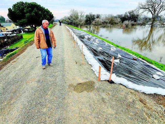
Last week the Lathrop City Council voted unanimously – with Councilwoman Minnie Diallo absent – to approve the formation of an Enhanced Infrastructure Financing District for the Mossdale area that will collect funding from new development that will help overhaul the existing RD-17 levee along the San Joaquin River to provide 200-year flood protected mandated by the State of California.
While other communities are participating in the program, Lathrop finds itself in the unique position of having its entire city limits within the 200-year flood plain – prompting the San Joaquin County Area Flood Control Agency to ask Lathrop to take the lead by initiating the new assessment districts that will likely be incorporated as a way of funding the expensive overhaul.
And it isn’t the first time that Lathrop has blazed the trail when it comes to ensuring that a massive flood doesn’t inundate the community.
In 2013 the city worked with developers to fund the creation of flood maps that outlined the San Joaquin River’s 200-year flood plain – revealing that the city as a whole, including both sides of I-5, are within the plain – and has taken an active role in ensuring that the entirety of the RD-17 levee is up to the state standard.
According to SB5, areas that have not completed the necessary repairs need to show “adequate progress” each year in order to continue to develop land that exists within the flood plain.
Mossdale, which is expected to be fully built-out by 2060, includes 5,125 developable acres and will eventually be home to 11,200 housing units and 33.1 million nonresidential building square feet after buildout is complete. As property values increase over time and as new development occurs, the city will donate a portion of its property tax revenue – which will initially be 10 percent, along with the 10 percent contributed by the county, 5 percent from Manteca, and 1 percent from the City of Stockton – towards EIFD to help fund the necessary construction that will allow all of the communities affected by SB5 to continue development without interruption.
San Joaquin County, per the agreement, will provide a base amount of 10 percent of its property tax once the increase goes into effect plus an “additional 37 percent of property tax increment.”
The EIFD will be governed by the creation of a Public Finance Authority.
Developers on the west side of I-5 have been proactive in working with the city to ensure that progress on the long-term goal continues so that development doesn’t stop – primarily in the Central Lathrop Specific Plan, around Lathrop High School, and the Mossdale area.
River Islands, which is also within a flood plain, is handling its certification separately since it is impacted by a different reclamation district and constructed massive levees intended to withstand a 300-year flood before construction began.
To contact reporter Jason Campbell email jcampbell@mantecabulletin.com or call 209.249.3544.


