
Where Manteca sees distribution centers and business parks, Stockton sees low density residential — think standard subdivision tract housing.
Both cities are eyeing the same land that’s north of Roth Road, west of Airport Way, south of French Camp Road and east of the Union Pacific Railroad tracks.
It is Stockton’s intent to annex land as far south as Roth Road where it meets Airport Way. As far as Manteca, the draft general plan update now being vetted has designs on pushing Manteca’s northerly city limits as far north as French Camp Road from the railroads tracks to a point a mile east of Austin Road.
The conflict is being created by Manteca’s update of its general plan. The document is a guide as well as a blueprint for growth that is mandated by the state. Just because a city adopts land use for property currently not within its city limits but is within their “planning area” doesn’t mean the land will ever become part of the city.
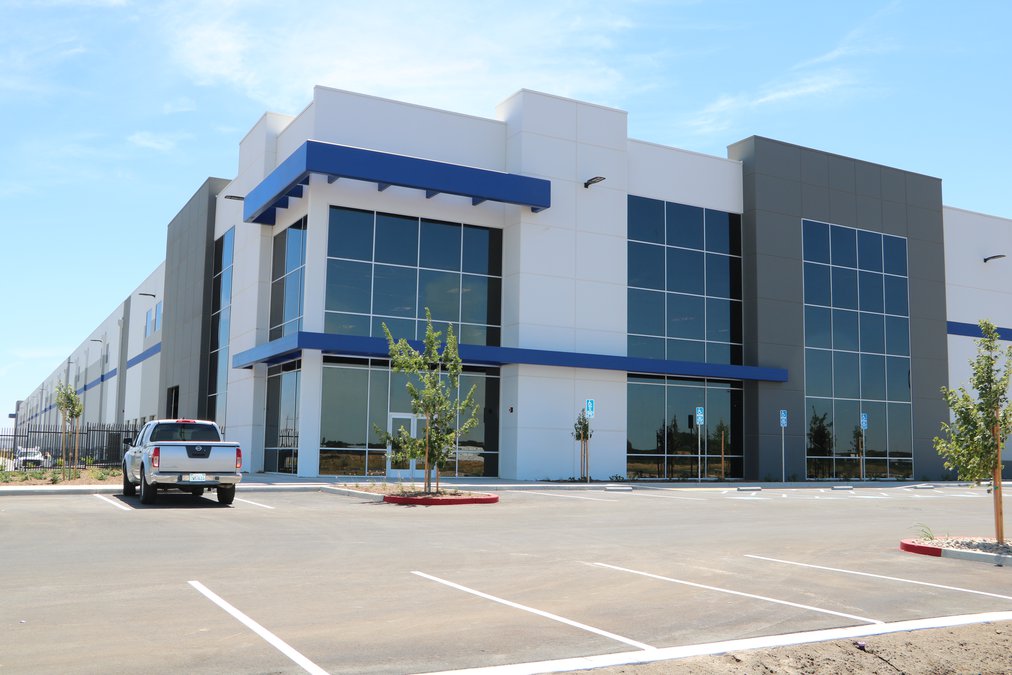
But if city leaders are serious about their pursuit of more jobs, ultimately pushing Manteca’s city limits to French Camp Road and converting undeveloped land west of Airport Way and north of Roth Road into industrial uses instead of more tract homes as Stockton envisions is essential.
The City of Manteca currently has sewer and water lines literally within dozens of yards of the area in question while the closest Stockton water and sewer lines are several miles away.
Former City Manager Miranda Lutzow told the council last year that when she approached Stockton officials about the future of the area in question that she was not well received.
There are several annexation proposals to the north in the works to add more land to Manteca for additional employment centers and housing. It would include an area for industrial and business park uses roughly three times the size of the business park portion of Spreckels Park.
It also involves an area roughly equivalent to the area that has been developed as housing southeast of the 120 Bypass and Main Street for additional housing.
A small part of the City of Stockton currently borders French Camp Road midway between Union Road and Airport Way.
Stockton, based on their 2040 land use map for their general plan would essentially come as far south to a point that essentially would be along a westerly extension of Roth Road from Interstate 5 to the San Joaquin River as well as abut Lathrop on the east side of the freeway.
If that happened Lathrop’s ability to grow beyond Roth Road would be stopped. And given the only option Lathrop would have — jumping across the San Joaquin River to the west — is essentially a non-starter due to the Delta Protection Act, Stockton’s southerly designs would box Lathrop in.
The stretch between the railroad tracks and Airport Way down to Roth Road with is the farthest point to the east Stockton’s 2040 land use plan goes south of French Camp Road.
Beyond that French Camp Road would serve to divide what is envisioned by both cities as their ultimate boundaries based on land use planning for the next 20 years.
The draft general plan review period is now underway. It closes on Thursday, May 6. The General Plan and EIR can be viewed on the city’s website at: https://manteca.generalplan.org/content/documents. Submit written responses by 5 p.m. on Thursday, May 6, to J.D. Hightower, Deputy Director, at the address above or by email at jhightower@ci.manteca.ca.us
For more information contact the Development Services Department, 1512 W. Center Street, Suite 201, Manteca, CA 95337. Phone: (209) 456-8500. Fax: (209) 923-8949.
To contact Dennis Wyatt, email dwyatt@mantecabulletin.com