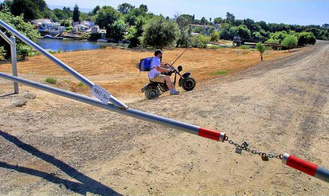
A proposed alignment for the controversial dry levee in southwest Manteca that is a critical element to meet the state mandate to provide 200-year flood protection for a swath of the city as well as all of Lathrop and Weston Ranch in Stockton could be selected by the City Council Tuesday for more intense study. The consulting firm of Drake Haglan & Associates is recommending what is being referred to as “Alternative 2A.” The consultants contend 2A minimizes farmland impact, stays on property lines as much as possible, accommodates entitled subdivision projects within Manteca’s city limits, makes the best use of existing easements, and has the greatest consensus among stockholders of all of the alternatives. The projected cost of the 2A dry levee alignment alternate is $12.1 million.
Dry levee decision
Council will pick alignment for further study

Latest
-
 $100 Door Dash tips help gig workers delivering burgers while federal policy slashes hourly pay of lettuce pickers
 -
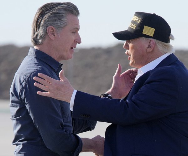 Trump moves provide cover for Newsom & helps advance Sacramento’s green agenda
 -
 To those that want City of Manteca leaders to break state law as well as undermine taxpayer protections
 -
 Newsom’s latest plan to out green the Jolly Green Giant will reduce local street repairs