New Melones Reservoir during the heaviest 24 hour period of the Pineapple Express that slammed California over the weekend actually dropped 571 acre feet.
Meanwhile in the same 24-hours ending at midnight Sunday Oroville Lake added 76,802 acre feet of water.
Downtown Sacramento was pelted with a record one day rainfall of 5.41 inches on Sunday but it took Manteca-Stockton Airport 72 hours ending 2 p.m. Monday to receive 3.68 inches.
And while looking at reservoir storage changes and rainfall in a 24-hour period gives you just a snapshot and is not indicative of trends, it underscores how weather — rain and snow — varies greatly across California.
The heaviest rain — it surpassed 11 inches in some spots in Marin County — slammed the coast and then inland areas such as Sacramento and the Interstate 80 corridor where the highest concentration of atmospheric moisture was dropped. Blue Canyon along I-80 at 4,695 feet received 10.40 inches of rain Sunday to surpass the all-time single day mark of 9.33 inches set in 1962. The previous downtown Sacramento mark was 5.28 inches stretching back to 1880.
Water officials stressed throughout the weekend for people to keep conserving water despite what had been described as a “historic storm” hitting Northern California. The state is still deep in the throes of a statewide drought emergency.
Although there was some local street flooding, the City of Manteca’s storm retention basin system built into neighborhood parks operated flawlessly.
The steady downpour that started Sunday evening and continued into the early morning hours Monday was handled by the city’s telemetry control system that sent water out of storm drainage pipes into the nearest retention basin.
In doing so it kept the system from being overwhelmed and backing up storm runoff into streets and potentially homes and businesses.
The water is sent back into the storm drain pipe system as capacity becomes available to make its way into the French Camp outlet and ultimately to the San Joaquin River.
Water levels at some retention basins were still high as of mid-day Monday.
Don Pedro Reservoir that serves the Modesto and Turlock irrigation districts as well as the City of San Francisco also lost water in the 24-hour period ending Sunday at midnight. Don Pedro lost 522 acre feet of water.
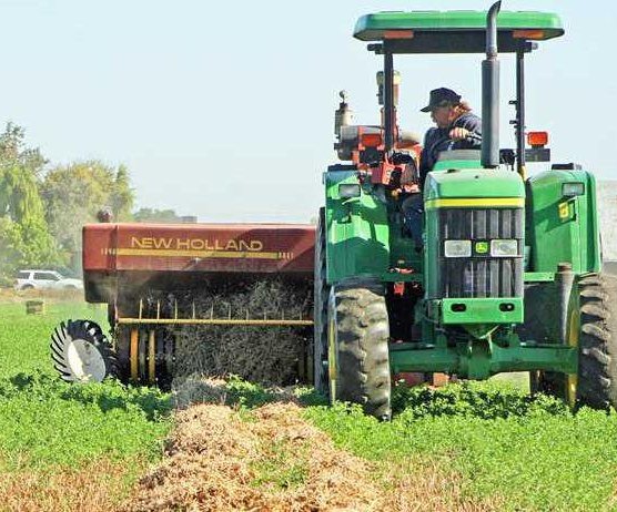
New Melones Reservoir on the Stanislaus River is critical to the water supply of the Oakdale Irrigation District as well as the South Joaquin Irrigation District that also supplies water to urban users in Manteca, Lathrop, and Tracy.
New Melones as of midnight Sunday was at 1,340,500 acre feet or 34 percent capacity for the 2.4 million acre foot reservoir. That is virtually what it was at a week ago today.
What has changed is the average capacity for specific dates. Storage was at 61 percent of historic capacity for Oct. 24 down from 62 percent on Oct. 19 for that date.
By contrast Lake Oroville — the state’s second largest reservoir with a capacity of 3.7 million acre feet — rose 16 feet during the same five-day period. It was at 988,851 acre feet as of midnight Sunday. That is 41 percent of average for Oct. 24. Five days early the reservoir was at 37 percent of average Oct. 19.
The snowpack got an early start but that could be negated depending upon the upcoming winter. Last year the snowpack looked promising in early January but by April 1 was dismal in terms of accumulation and water content.
To contact Dennis Wyatt, email dwyatt@mantecabulletin.com