
The state-mandated climate change action plan Manteca is creating might seem a bit of an abstract when it comes to the effect of greenhouse gas.
What isn’t is the No. 1 climate threat facing Manteca — flooding.
And it’s flooding frequency that is expected to rise.
Various models show precipitation patterns are slowly changing over Northern and Central California as they have done in a repeated cyclical pattern over the course of thousands of years.
Models point to less snow in the Sierra and more rain in the foothills and on the valley floor.
That means precipitation shifts could reduce the effectiveness of the flood control functions of major reservoirs.
It may be due to more frequent warm rain melting snowpack throughout the winter, more perception falling below the basins feeding into reservoirs, or a combination of both.
As such, that increases the odds for flooding in Manteca — as well as Lathrop — given both cities are along the “last miles” where the 15,600 square miles of the San Joaquin River basin drains into the Delta.
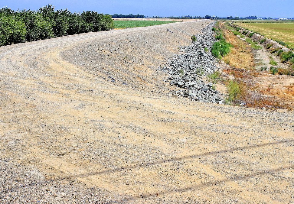
Manteca — along with Lathrop, Stockton, and San Joaquin County — have been working to address the issue long before climate change entered the everyday vernacular.
It started with the California Legislature requiring more robust levees to protect against 200-year flood zones after levee failed in New Orleans during hurricane Katrina.
Local concerns, though, preceded that as the paving over of land with impervious surfaces — streets, parking lots, rooftops, sidewalks and such — upstream — had been increasing runoffs and the frequency of flooding measured by 100 year events.
The $270.7 million 200-year-flood protection upgrades that are now moving forward to protect Lathrop as well as parts of Manteca and Stockton are being financed primarily with fees and taxes in growth.
It will protect homes to be built as well as a large number of homes, commercial property and business parks already in place.
In flood lingo, a 200-year event doesn’t mean a flood that will happen every 200 years.
Instead, it reflects the odds of such an event happening in any given year. That means there is a 1 in 200 chance of an event occurring in any given year requiring the levee work now being pursued.
Roughly 40 areas in California including Manteca-Lathrop-Stockton fall within peer reviewed science that designated 200-year flood plains. They must have — or be in the physical process of constructing — protection to guard against such an event by 2030.
If such areas fail to do so the state will ban all new construction including additions to existing structures whether it is a room, adding on to a commercial building, or putting in place an outbuilding such as a barn.
The San Joaquin Area Flood Control Agency — formed by the three cities and the county — is in the process of meeting the state mandate to start 200-year levee work by 2030.
Failure to comply would require anyone within the designated 200-year floodplain with a government insured mortgage to buy annual flood insurance that typically runs in excess of $2,000 a year.
A 200-year flood event
would be devastating
The $270.7 million in work will protect a lot of existing residents, development, and infrastructure.
Should a 200-year flood occur with multiple levee failures along the Stanislaus and San Joaquin rivers south of the Interstate 5 bridge before the merger with the 120 Bypass, engineers have indicated it would among other things:
*Flood 5,000 existing homes with 3 feet or more of water.
*Endanger and force the overall evacuation of 52,000 residents in Lathrop outside of River islands, Weston Ranch in Stockton, southwest Manteca, and rural areas
*Force the evacuation of San Joaquin Hospital — the county’s major trauma center — as well as the county jail.
*Force first responders at five fire stations, and the county sheriff to abandon their stations and key communication centers in the middle of a major emergency.
*Lathrop High and Weston Ranch High would have water flowing through their campuses as would six other Manteca Unified elementary schools.
*Force the closure of portion of Interstate 5 — the major West Coast freeway running from Mexico to Canada — and the 120 Bypass.
*Water would swamp the wastewater treatment plant serving 88,500 existing Manteca residents and more than 14,000 of Lathrop’s nearly 30,000 residents.
*Disrupt Union Pacific Railroad train movements as well as damage tracks that Altamont Corridor Express relies on.
And that’s just for starters.
Modeling shows a number of existing homes would likely suffer water damage in fringe areas that could receive upwards of three feet of flood water.
To contact Dennis Wyatt, email dwyatt@mantecabulletin.com