The eight counties in the San Joaquin Valley in 2023 added 27,803 new residents.
That number accounted for 45 percent of California’s statewide population growth.
San Joaquin County led the way with 7,505 new residents with Manteca and Lathrop accounting for half the amount.
Overall, the San Joaquin Valley had 4,346,059 residents at the start of 2023.
The counties in descending size based on population as of Jan. 1, 2023 were Fresno, 1,017,481; Kern, 910,300; San Joaquin, 791,408; Stanislaus, 548,744; Tulare, 478,918; Merced, 287,303; Madera, 159.328; and Kings, 152,627.
The San Joaquin Valley accounts for roughly 70 percent of California’s annual farm production of $59.4 billion. Of that, San Joaquin County in 2023 produced crops valued at $3.22 billion.
The challenge is to make sure agriculture can flourish as the valley grows.
That is where Local Agency Formation Commissions come into play.
Create by the legislature, they are tasked with:
*planning for sustainable services.
*preventing urban sprawl.
*encouraging orderly boundaries.
*considering regional transportation, housing needs, water, and other issues.
*promoting efficient public services by reviewing and analyzing service review plans..
*protecting against the premature conversion of California’s agricultural and open space lands.
*facilitating interagency cooperation.
*commenting on general plans that provide 20-year blueprints directing growth for various jurisdictions.
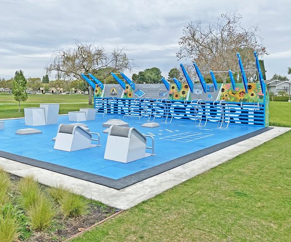
The Manteca Planning Commission when they meet Thursday at 6 p.m. at the Civic Center, 1001 W. Center St., will receive a tutorial regarding the LAFCo process and the agency’s responsibilities.
The commission interacts with the San Joaquin LAFCo primarily through its review of annexations to the City of Manteca.
Manteca is planning
for 211,063 residents
Manteca, in its general plan for the planning horizon through 2045, is planning for 211,003 residents based on assigned land use designations.
That doesn’t mean the city will actually add what would be 108,000 residents over the next two decades. Instead, it is what the land with accompanying zoning will accommodate in terms of a population at full buildout if and when that occurs.
The 211,003 population is based on allowed land use attached to property that is within the city limits plus that identified for future annexation within the city’s sphere of influence.
Those two areas represent 31.89 square miles. To give you an idea of the area covered in a square mile, which is 640 acres, it is the same amount of land that is bordered by Louise Avenue on the north, Cottage Avenue on the east, Yosemite Avenue on the south, and Main Street on the west.
There are already 13,746 acres within the city limits. There is another 6,664 acres adjacent to the city that is known as the sphere of influence and ultimately is expected to be annexed to the city.
The land uses the general plan update gives to both categories of land will eventually allow Manteca to accommodate 66,353 housing units or 211,003 residents overall.
What Manteca’s future
city limits could look like
If all of the land addressed in the general plan is annexed to the city, it would create a fixed boundary on the west and partial boundaries to the north and south that the city could not expand beyond.
Manteca is already flush against Lathrop on the west. It could also eventually include Oakwood Shores as well as some areas to the west that border the San Joaquin River.
It’s southern boundary in a large part will be determined by the placement of a cross-levee or dry levee required for 200-year flood protection. State law will not allow urbanization south of the proposed levee as it would lack 200-year flood protection.
That wouldn’t be the case on the eastern edge of Manteca’s southern flank. Manteca could theoretically grow until it reaches the sphere of influence for Ripon.
On the north, Manteca would touch part of Stockton’s existing city limits that reaches French Camp.
However, Manteca could still grow north of French Camp Road east of Highway 99.
On the east, it is wide open north east of Highway 99 and north of Graves Road which is the northern sphere of influence boundary for Ripon.
The general plan as presented includes land within 1½ miles of Jack Tone Road between Louise Avenue and East Highway 120.
North and south of that area the eastern edge of Manteca’s planning area is Prescott Road to the north and to the south if that rural road was continued south to Highway 99.
To contact Dennis Wyatt, email dwyatt@mantecabulletin.com