There’s more awaiting those that venture out on what is already shaping up as the South County’s premiere urban trail — the Bennie & Joyce Gatto Trail — than just fresh air and stunning river views.
It also will eventually offer a series of up to two dozen signs depicting Lathrop history, the river environment, and other nuances unique to the region.
The 16-mile trail encircles the 4,995 acre Stewart Tract that is the southernmost of 55 manmade islands created with the help of more than 1,000 miles of levees in the Sacramento-San Joaquin Delta.
Currently, it is paved for 4.9 miles. The balance will be paved as the community develops.
The paved trail ultimately will completely loop the “island”.
The tract — now known as River Islands at Lathrop — is where the planned community by the same name will ultimately build 15,001 homes. It will include the Northern San Joaquin Valley’s first transit village on the future Valley Link commute line that will connect with BART.
The trail is open to all.
As such it means Cambay Group has developed by far the most robust urban walking trail along the 366-mile San Joaquin River.
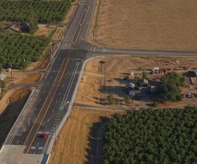
The trail atop a 300-foot wide levee, is a joint endeavor of the development firm, Reclamation District 2062 that encompasses Stewart Tract, and the City of Lathrop.
The only river trail that will come close to its accessibility along a river in California is the 32-mile American River Trail that goes from downtown Sacramento to Folsom.
And while the American River Trail has only a handful of road crossings, there is only one on the Gatto Trail where it crosses Stewart Road just west of Manthey Road.
Cambay Group has opted to bridge locations where roads cross — or will cross the levee — with pedestrian/bicycle bridges for trail users.
You can easily shorten the “loop’ by cutting across the island using sidewalks as well as a trail that will go along a cross levee via various access points
The trail goes along the San Joaquin River proper for 2.5 miles.
At that point the San Joaquin River continues northwards past the Mossdale Landing area of Lathrop toward Stockton while a split known as the Old River channel turns west.
The trail runs along the Old River for the next 5.9 miles.
At that point the levee trail swings eastward along the Paradise Cut — a bypass channel for the San Joaquin River — to return to its starting point near Golden Valley Parkway and Lakeside Drive.
If you walk the trail — even the paved portion — there are no sources of water along it meaning bringing your own water is a must.
There are currently 11 access points.
If you are visiting River Islands to walk the trail, the best access point is from the islanders Field off of River Islands parkway as you cross the San Joaquin River via the Bradshaw Crossing. River Islands Parkway is accessed from Louise Avenue off of interstate 5.
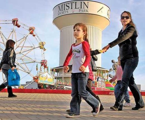
In the future, a town center will be developed near Islanders Field with restaurants and shops that those using the trial will be able to access in addition to River Islands residents. For now, the one dining option is the popular Boathouse restaurant that overlooks one of the many manmade lakes.
There are five trail signs with quick reads of area history, the river ecological system, and such. All include photos.
The subjects on the first five signs are:
*The Mossdale Crossing Railroad bridge: It touches on how the bridge actually was the final piece that completed the transcontinental railroad on Sept. 8, 1869. In doing so, it made possible to reduce a six-month transcontinental trip by wagon train to just a little over 8 days by rail.
The sign also explains how Mossdale was named.
It also notes that where the bridge is located is where the ship dubbed “Comet” that sailed up from Yerba Buena (San Francisco) and landed in 1846 with a contingent of 20 Mormon men who attempted to settle a colony near present day Caswell State Park.
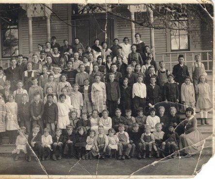
*The naming of Lathrop: It talks about Lathrop’s beginning and the fact Leland Stanford, one of the Big Four of Central Pacific Railroad fame, named the town for his wife, Jane Lathrop Stanford, and brother-in-law Chares Lathrop.
*Bennie & Joyce Gatto Historical Trail: It provides not only details about the trail’s namesake couple that dedicated their lives to improving Lathrop, but also shares how the nearby bridge was named after Mike Bradshaw who worked tirelessly to made sure bridges — figuratively — would be built that would tie together the new and old sections of Lathrop separated by the San Joaquin River.
This is also the sign closest to Islanders Field off the River Islands Parkway.
*The Delta and its primary/secondary zones: It touches on basics of the Delta, the San Joaquin River, and the difference between the Delta’s primary and secondary zones. River Islands is in the secondary zone.
*Our first settlers: It describes the original settlers of the area, the Yokuts indigenous Americans. It describes how they made their homes in the San Joaquin Valley for more than 250 years predating European explorer.
To contact Dennis Wyatt, email dwyatt@mantecabulletin.com