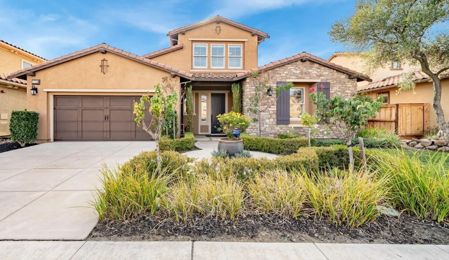

Oakwood Shores — the hottest neighborhood for home sales in the Manteca area — was almost literally underwater 26 years ago.
Homes selling for more than $1.1 million today are on land that in 1997 came precariously close to being under 2 to 3 feet of water.
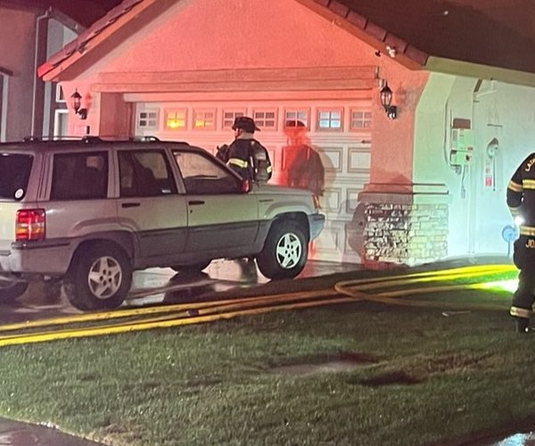
Emergency crews had scrambled to cover the dry levee also known as a cross several hundred yards to the south with plastic sheeting weighted down by sand bags after levee breaks along the Stanislaus and San Joaquin rivers had sent floodwaters lapping to the levee’s top.
State flood management officials were expecting the worst.
They ordered the McKinley Avenue underpass plugged with a massive mound of dirt to turn the elevated portion of the 120 Bypass as it approached Interstate 5 into a makeshift levee should the cross levee fail.
To the west of present-day Oakwood Shores, the neighboring Wetherbee Lake area ended up having homes that were underwater with as much as 8 feet of water for the better part of three months.
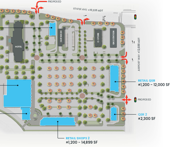
And to the east developers within Manteca now have seven new homes in escrow including four between $768,224 and $804,318. They are all built on land that would have flooded in 1997 had the cross levee failed.
The dual epicenter of Manteca’s march to average home prices pushing seven figures and the region’s cycle of droughts and floods illustrates just how the South County will manage to build the $270.7 million flood protection that the state has mandated must be in place — or at least in the middle of actual construction — by 2030.
Bay Area buyers — armed with either cash from the sale of existing homes and/or household incomes double to triple of those of existing Manteca residents — are willing to pay the price.
That price includes a $3,770 fee collected on building permits to pay for part of the 200-year levee work plus $15,000 plus a year in taxes on that $1.1 million home once community district taxes and bond measure payments are added to the tab.
And given they would need to protect their investment those homeowners are likely to OK a possible overlay tax the San Joaquin Area Flood Control Agency is likely to pursue to cover any gap in revenue needed to finance bonds for the levee work.
As a practical matter, the fees are going to protect against more frequent flood events such as the 1997 flood than just simply a 200-year flood.
There have been 11 floods that have either reached the cross levee or were one cross levee to the south away from being on the water’s edge during previous river levee breaks since 1929.
In flood lingo, a 100-year flood means an event that has a 1 on 100 chance of happening in any given year. Likewise, a 200-year flood has a one in 200 chance of occurring in a specific year.
Climate change natural or otherwise, means there will be more rain even though overall participation could be lower as snowpacks get smaller, according to climatologists. That means more runoff from winter rain in the valley.
It also brings with it the added prospect that warm rains — such as what happened in January of 1997 after the prior month saw an above average Sierra snowfall – could prematurely melt the snowpack and repeat the 1997 flood that inundated 70 square miles between Manteca and Tracy.
Even with a change in climate patterns, the frequency of flooding is increasing in the valley,.
That’s because there is less permeable ground to absorb rainfall every time a rooftop goes up, a street is paved, a sidewalk installed or front yard grass cemented over to widen driveways.
Lathrop and Manteca are located where the San Joaquin River watershed basin drains into the Delta that is barely above sea level. That means flood threats will become more frequent as the years unfold and the valley grows.
A 200-year flood event
would be devastating
The $270.7 million in work is guarding against a much more devastating event than the 1997 flood.
That means the new construction — key to generate adequate money to build the 200-year flood improvements — would protect a lot of existing residents, development, and infrastructure.
Should a 200-year flood occur with multiple levee failures along the Stanislaus and San Joaquin rivers south of the Interstate 5 bridge before the merger with the 120 Bypass, engineers have indicated it would among other things:
*Flood 5,000 existing homes with 3 feet or more of water.
*Endanger and force the overall evacuation of 52,000 residents in Lathrop outside of River islands, Weston Ranch in Stockton, southwest Manteca, and rural areas
*Force the evacuation of San Joaquin Hospital — the county’s major trauma center — as well as the county jail.
*Force first responders at five fire stations, and the county sheriff to abandon their stations and key communication centers in the middle of a major emergency.
*Lathrop High and Weston Ranch High would have water flowing through their campuses as would six other Manteca Unified elementary schools.
*Force the closure of portion of Interstate 5 — the major West Coast freeway running from Mexico to Canada — and the 120 Bypass.
*Water would swamp the wastewater treatment plant serving 88,500 existing Manteca residents and more than 14,000 of Lathrop’s nearly 30,000 residents.
*Disrupt Union Pacific Railroad train movements as well as damage tracks that Altamont Corridor Express relies on.
And that’s just for starters. Modeling shows a number of existing homes would likely suffer water damage in fringe areas that could receive upwards of three feet of flood water.
To contact Dennis Wyatt, email dwyatt@mantecabulletin.com