A partial solution to the flood woes between Mossdale Crossing and Vernalis southwest of Manteca on the San Joaquin River has been waiting for federal approval now for 13 years.
Cambay Group filed for a permit in 2003 with the Army Corps of Engineers to modify Paradise Cut. It was supposed to be an 18-month approval process. Now 13 years later the Army Corps is reportedly nearing completion of its review process for the Paradise Cut application that’s part of the 10,800-home River Islands at Lathrop planned community.
Many people who live and farm east of the San Joaquin River and south of Manteca were under the impression River Islands were supposed to have done the work years ago. They made that point during a Manteca City Council meeting earlier this month regarding the proposal to spend $168 million to make levee improvements to meet a state mandate for 200-year flood protection. River Islands wanted to do the work a decade ago but the bureaucratic review process with the state and federal government has stretched out the government’s own time table by 11.5 years.
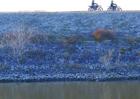
Paradise Cut has historically taken pressure off the San Joaquin River when it nears flood stage. It has little water in it much of the year. It runs beneath Interstate 5 just north of the Interstate 205 interchange along the southern edge of River Islands.
River Islands’ proposal is to add 200 acres to the 600 acres that are within Paradise Cut that runs from the main river channel prior to it reaching Mossdale Crossing and runs parallel to the Middle River Channel. They also want to restore habitat.
The River Islands project is based on a proposal made years ago that resurfaced in 2001 in an Army Corps of Engineers report to create a rive bypass to reduce the potential for flooding in Manteca, Lathrop, and Stockton.
The Lower San Joaquin River Flood Bypass Proposed was formally submitted to the California Department of Water Resources in March 2011 by the South Delta Levee Protection and Channel Maintenance Authority and other partners. It was an effort to secure $5 million to create the new flood bypass in the last corridor of undeveloped land between Tracy and Lathrop.
Engineers determined expanding the Paradise Cut would reduce flood stages significantly at Mossdale Crossing — 1.8 feet under a 50-year event as well as under a 100-year event such as the 1997 flood that inundated 70 square miles between Manteca and Tracy.
At the same time it would offer habitat and migration territories for juvenile steelhead, salmon and spawning split tail that are driving some water use debates.
It would also allow upstream reservoirs to be managed more conservatively to reduce water releases during the rainy season and spring runoff to conserve water for summer use.
David Kennedy, the longest serving director of the Department of Water Recourses, in 1998 wrote the following about the Paradise Cut bypass proposal in the forward of the second edition of “Battling the Inland Sea”: “Recognizing the futility of simply raising the levees, flood control experts will now evaluate the feasibility of removing levees in some locations and simply letting future flood flows pond onto adjacent lands. Further, consideration is being given to opening up some form of bypass through the south Delta to relive pressure on the levees as the San Joaquin River flows into the Delta. It is hoped these issues will be resolved and changes will be made before the next flood.”
Cambay Group wants to set levees back on the north side of Paradise Cut as well as on the south side. They provided $700,000 for land acquisition and agreed to spend money to do the necessary work that was pegged at between $1.8 million and $3 million five years ago.
River Island project
manager agrees
dredging would help
River Islands Project Manager Suns Dell’Osso agreed with Manteca Mayor Steve DeBrum’s contention that dredging the San Joaquin River between Vernalis and Mossdsale would significantly enhance flood protection.
Dell’Osso knows a bit about issues on the river given that Cambay Group ended up spending $70 million to create super levees 300 feet wide to take 900 acres on Stewart Tract where homes are now being built out of the 200-year flood plain. The firm is getting reading to do more levee work that would protect 300 more acres.
In addition River Islands has spent $2 million on studies to prove to the state that the levees created in 2006 provide 200-years flood project as mandated by Senate Bill 5.
“We didn’t do anything else to the levees,” Dell’Osso said. “But because Senate Bill 5 didn’t exist in 2006 we had to (prove that they meet the new standards.)”
Cambay Group expects to submit data needed for certification that 200-year flood protection exists in May to the Lathrop City Council.
As for dredging the river, Dell’Osso believes there is a good chance it would address all or most of the need for 200-year flood protection.
“But given how long it takes to get approval for (water) projects from the state and federal governments, there’s no way you can get approval by the July 1, 2016 deadline,” she said.
She added many state water managers as well as environmental groups and fishing advocates are against dredging as it would create issues with water quality that would initially pose a problem for fish
Dell’Osso pointed to River Islands’ experience with Paradise Cut. She noted bureaucrats assured it would be only an 18-month process.
Paradise Cut work nears
Request to enhance flood protection made 13 years ago