Rain and snow when it does fall can sometimes inflict painful misery on parts of Manteca and Lathrop.
The area south of Manteca known as River Bend where the Stanislaus River joins the San Joaquin River, has flooded 11 times in the past 87 years. Back prior to the1890s, annual flooding was a way of life as there were no levees of consequence to keep the river in check whether it was a below normal year or one with above average precipitation.
The current drought we are in underscores who really is in charge — Mother Nature. We just have to come up with a way to live with her whims.
Which brings us to the $150 million question: Why do we need more flood protection?
The short answer is because the California Legislature says so. They have upped the ante — reasonably so to 200-year flood protection. That is roughly twice as effective as what now exists protecting parts of Manteca, much of rural south Manteca, almost all of Lathrop and Weston Ranch from both the San Joaquin and Stanislaus.
Although a 200-year event — a reference to magnitude and not frequency — hasn’t occurred in the past century or so the fact more and more development has taken place upstream only increases the run-off potential with each passing year.
If enhanced protection isn’t in the works by July 1, 2016 no new construction of any structure can be done in the identified 200-year floodplain unless it is taken out of harm’s way. That means either employing expensive earthen mounds or some type of stilt- cinderblock base to raise buildings above the 200-year flood level.
The county isn’t an active player which means only as much of the levee system that has to be enhanced will be done. That is why the dry levee that exists south of Woodward Avenue is proposed to be extended eastward and buffed up in size instead of upgrading the Stanislaus River levee as well as the San Joaquin River levee south of Wetherbee Lake.
Rest assured the $150 million figure would easily double if those sections of levees were included in the work.
There are three points you need to keep in mind.
First, the levee enhancement costs will more than likely be borne by those who own undeveloped land that lies in the 200-year floodplain within the Manteca and Lathrop city limits.
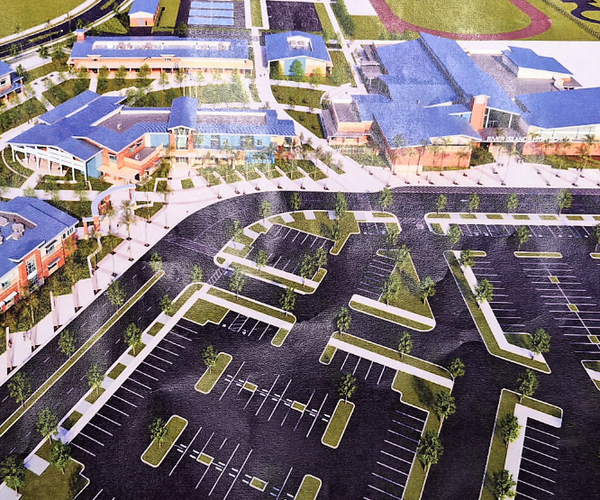
Second, in all likelihood if won’t stop Great Wolf Resort from being built if a deal is done as construction would by underway before the July 1, 2016 deadline.
Third, it is not a question of whether — but when — a flood will occur. And given the 1997 disaster was a 100-year event a repeat of that one with the existing dry levee south of Woodward Avenue failing would inundate existing housing south of the 120 Bypass although plugging the McKinley Avenue underpass could probably save areas north of the freeway along Airport Way.
In short everyone who owns a home or business in Lathrop and Weston Ranch has a vested interest in the levees being upgraded even though they aren’t paying for the work. That also goes for at least 2,000 homeowners and business on a wide swath of the Airport Way corridor.
The real losers are rural Manteca residents who generally live south of Peach Avenue and east of Airport Way.
Engineers, financial analysts, and bureaucrats have already made a decision that puts the residents in the cross-hairs by opting for the dry levee. Exploring the more extensive levee work along the Stanislaus and the San Joaquin north to Wetherbee Lake isn’t a viable option.
Going much farther south than Fig Avenue with a new dry levee would require dealing with more property and going farther to the east. It would also protect land not in Manteca’s sphere of influence or an area that has been identified as a logical annexation to the city down the road.
No matter where the dry levee goes, if you live along Peach or Fig you will lose. If the levee is built north of your home and property it means floodwaters in the next major event will be even higher since the levee will stop water from advancing north.
And if the levee is built to the south of your home and property, you will have dodged one bullet only to be gunned down by another. That’s because the city plans to swing the envisioned Raymus Expressway through the area north of the levee.
Fighting the levee might be a bit futile.
But what is feasible is for groups such as Citizens United to step up their game and force things to happen.
First it is clear from the latest Google aerial map if a somewhat of a zigzag course for the extension is taken, a levee could be created with minimal impact on existing residents and farming operations.
Second, residents need to hammer city leaders week in and week out to adopt a route for the expressway now so it can be forced farther to the north through undeveloped areas. Wait a few years to make the exact alignment and five houses to an acre will be built in the only other area it can go.
The longer the city waits to adopt a corridor for Raymus Expressway, the more likely it can only go just north of the levee extension.
As things stand now, it is shaping up as a miserable future for many residents of rural South Manteca.
This column is the opinion of executive editor, Dennis Wyatt, and does not necessarily represent the opinion of The Bulletin or Morris Newspaper Corp. of CA. He can be contacted at dwyatt@mantecabulletin.com or 209.249.3519.