It’s arguably be the most expensive and contentious line ever to be drawn in the history of Manteca.
The line — the general proposed alignment of a dry levee that needs to be in place by 2022 based on a Sacramento mandate — will run from the San Joaquin River in the west to a point just short of Union Road in the east. That much everybody agrees on.
But just how far south that levee will go south of Woodward Avenue is pitting rural residents and farmers against the city and future developments.
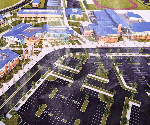
That alignment will also dictate how many more homes can ultimately be built in southwest Manteca. The farther south it goes the more homes that can be built.
The alignment needs to be identified by July 1 in a bid to meet the state mandate that progress is being made in moving toward the establishment of 200-year flood protection.
Not having the levee in place means that new and future projects that are within the 200-year floodplain not under construction or at a certain point in the entitlement process will grind to a halt.
City Manager Karen McLaughlin, as an example, has said it is her understanding that projects such as the city’s family entertainment zone and waterpark resort site that have approved maps, are in the bid process for site improvements or have secured entitlements won’t be stopped if the state determines “reasonable progress” hasn’t been made by July 1.
No one knows for sure, of course, until the state weighs in once the deadline passes.
The cities of Lathrop and Manteca — that estimate the levee work along the San Joaquin River as well as the dry levee will cost roughly $165 million — are operating under the assumption “reasonable progress” means an alignments as well as a method of financing need to be identified. It doesn’t mean an exact levee alignment with reams of engineering and financial documents need to be completed by then. The cities simply have to show they have made progress.
That said the state has been adamant that once the 2022 deadline is reached if levee improvements aren’t completed or under construction no new building — regardless whether it is entitled — will be allowed to proceed nor will any expansion of existing developed sites be allowed such as adding rooms to a house.
And while frustrated municipal staff has indicated questions about construction and hydrology can’t be addressed with any degree of precision until an alignment is picked, residents and farmers see it differently.
Simply where the alignment goes will seal their fates not just for a 200-year mega-flood event that has never happened since the Manteca area has been developed, but for 100-year events. The 100-year moniker can be misleading. It doesn’t mean a flood of that degree will happen only once every 100 years or so but that there is a 1 in 100 chance of it happening in any given year. A 200-year event would have a 1 in 200 chance of occurring in any given year.
Manteca-Lathrop has had at least four 100-year events since the 1870s. The frequency has increased due to adding rooftops and pavement in the San Joaquin Valley that has reduced the ability for rainwater to be absorbed into the ground. Instead it flows into storm drains and into rivers.
Flood waters in 1997 came up against the dry levee now in place west of Airport Way and south of Woodward Avenue. There was a week where it was touch and go whether that levee would hold. That is why the undercrossing of the 120 Bypass at McKinley Avenue was plugged with dirt covered by plastic so the freeway would serve as an emergency levee if needed.
Several inches of water crossed Airport Way near Peach Avenue while floodwaters bordered Nile Garden School.
A levee put farther south than the historic 100-year flood lines would back up water even higher in such an event causing even more damage to farms and homes south of a new dry levee. Toss in increased run-off and that is why property owners in the effective area are irked when suggestions are made that extending the dry levee or moving it farther south won’t increase the chance their homes and land will flood.
Impacted rural residents and farmers argue they are being sacrificed so future developers can make money and for future residents who aren’t now living in Manteca.
The developers — or owners of raw land targeted for development — will have to foot a large chunk of not all of the cost of building the levees especially if the state does not contribute anything. That means cost of the levee upgrades will ultimately be collapsed into the price of new housing.
To contact Dennis Wyatt, email dwyatt@mantecabulletin.com