
The Manteca-Ripon-Escalon weathered the year’s worst atmospheric river to date relatively unscathed.
The system dropped 0.40 inches of rain over the weekend in South San Joaquin County.
That contrasts sharply to coastal areas in California such as locations in the Los Angeles Basin where the system dumped 10 inches of rain over the weekend.
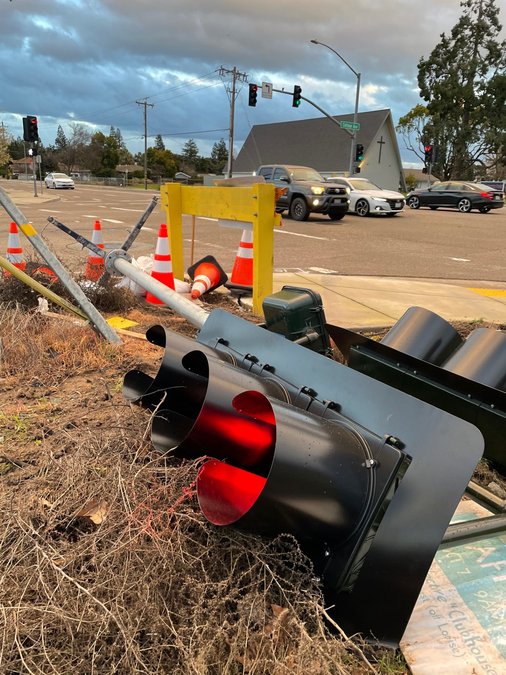
The biggest problem locally was high winds that broke branches and toppled some trees — including a scattering of almonds trees in orchards — when combined with the rain that fell on the area between two storm systems over five days.
The highest gust on Sunday was 60 mph, recorded at 4:30 p.m. at Stockton Metro Airport. It was the strongest gust so far in 2024 in the Manteca area.
That said it was less than half the highest wind speed recorded of 125 mph on Sunday on Mammoth Mountain at 10,541 feet.
Mammoth Mountain, located southwest of Yosemite National Park in the eastern Sierra, reported 43 inches of snow in a 24-hour period ending Monday at 9 a.m.
Additional snow was expected to fall in the Sierra last night.
Snowfall on the western slope in the 209 region including 24 inches at Bear Valley Ski Resort on Highway 88 and 12 inches at Dodge Ridge Ski on Highway 108 above Sonora.
The water level of the San Joaquin River at Vernalis — the Airport Way bridge 10 miles southwest of downtown Manteca — was at 15.7 feet at noon on Monday.
That reflects a 3.7-foot rise since Jan. 31.
The river remains well below flooding warning at stages.
Before the two storms hit, the water content of California’s overall snowpack was at 52 percent of normal for Feb. 1.
Major reservoirs, however, were at normal or above normal.
The State Water Project operators last week opened the spillway at the system’s largest reservoir located at Oroville on the Feather River.
The concern is a swing to less cool temperature and warm rains could create a mid-winter snowmelt.
By making room with releases now, it avoids a repeat of flooding such as what happened in 1997 in the rural area between Tracy and Manteca when unseasonably warm weather melted the snowpack forcing heavy reservoir releases that led to levee failures downstream.
As of noon on Monday, Manteca-Ripon-Lathrop rainfall since July 1 was 7.83 inches or 103 percent of normal for Feb. 4.
Manteca received 50 percent of the rain in the 12-month period of July 1 through June 30 with five months left including February and March when periods of heavier precipitation usually occurs.
To contact Dennis Wyatt, email dwyatt@mantecabulletin.com