It didn’t take long for commuters to find another way to bypass the commute backups caused by the mile-long stretch where Interstate 205 and the 120 Bypass merge with Interstate 5.
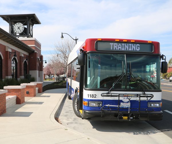
When River Islands at Lathrop re-opened Paradise Road after completing levee work for the second phase of the 15,001-home planned community, commuters started exiting Interstate 205 in Tracy at MacArthur Boulevard. They head north to turn right on Arbor Avenue, then left on Paradise Road to cross Paradise Cut and cut through River Islands via River Islands Parkway to reach Louise Avenue by the Lathrop Target. They then turn right on Louise Avenue to reach Interstate 5 or head into Manteca.
It is not something that Cambay Group that worked hard in designing development of the 4,800 acres to discourage through traffic on what is officially known as Stewart Tract, the southeastern most island in the San Joaquin-Sacramento Delta, wanted to see happen.
They are taking steps to make the commute short cut less desirable. They have ordered traffic signals for three locations on River Islands Parkway —Somerton Drive, Dell’Osso Drive and a third cross-street yet to open. When the equipment needed is in place in the next 10 months or so, traffic signals will be set and timed in a manner during commute hours so that pass-through traffic can count on additional timely delays aimed at discouraging casual cut through.
In the event of a major snarl caused by a traffic accident, the red light timing strategy may have little impact. But the goal of Cambay Group is to minimize traffic impacts when they can.
It is just one example of how River Islands is literally designing and engineering safety and minimizing traffic congestion and related issues in the planned community.
Limited road access to
River Islands at Lathrop
One of the appeals of River Islands is people need to cross the San Joaquin River, Paradise Cut or the Union Pacific Railroad mainline to access the island.
There will be only five crossings:
*River Islands Parkway that now crosses the San Joaquin River from the Mossdale Landing portion of Lathrop north of the river.
*The extension of River Islands Parkway into the Paradise Road alignment to ultimately connect with a new interchange on Interstate 205.
*The Golden Valley Parkway with a bridge crossing the city is now reviewing that would be built between Manthey Road and the Bradshaw Crossing
*River Islands Parkway of would eventually span Paradise Cut and then swing west just north of Interstate 205.
*Stewart Road via the Mathney Road exit on Interstate 5 between the 120 Bypass and Interstate 5 interchanges.
Once the river crossing of the Golden Valley Parkway is in place, the Manthey Road river crossing will be closed.
That will allow Mathney Road south of the river to curve to the west to flow seamlessly into Stewart Road.
River Islands is working with Caltrans on plans to lengthen the on and off ramps to Interstate 5 at Manthey Road to safely accommodate more vehicle movements.
Golden Valley Parkway — that avoids River Islands neighborhoods — goes through the planned employment center and past the transit village designed for apartments with roughly 1,600 residents clustered around the Valley Link station that will provide connecting service to the BART line in Pleasanton/Dublin.
County and state planners envisioned Golden Valley Parkway to be part of a “relief route” for critical movement of commuters and goods from the Stockton area to the Bay Area in the event a major accident ties up the corridor for hours.
Whether the complete “emergency relief” corridor will ever be built depends upon development patterns. The goal would be the ability — in an emergency — to move traffic from Stockton to Mountain House and rejoin the interstate system at the base of the Altamont Pass.
Valley Link station being
design to avoid luring traffic
The Valley Link station at River Islands that could be serving commuters by 2028 is the initial station that is the farthest from Pleasanton/Dublin. As such it will be where people in the Stockton-Manteca-Lathrop area and beyond wanting to use BART to get to work will be driving to catch a Valley Link train. And even if the second phase plan is implemented with Valley Link extended to Stockton, a lot of non-River Islands commuters such as from Manteca would want to catch the train at River Islands.
That is why River Islands is using property they own on both sides of the Union Pacific Railroad tracks for parking. That means 1,500 parking spaces will be provided on the east side and 1,500 parking spaces on the west or River Islands side.
The passenger loading platform will be between the tracks. Access will be from a pedestrian bridge over the tracks.
Access to the east side will be from the Manthey Road exit on Interstate 5.
License plate scanners
at every entrance to
River Islands at Lathrop
Thanks to limited access, technology is being put in place to allow for the scanning of the license plates of all vehicles entering River Islands.
If a vehicle plate is entered in a state-wide data base as being stolen, it will alert law enforcement. At the same time other cameras on main streets in the development will allow law enforcement to track vehicles with stolen plates in real time.
Besides the vehicle being stolen — or at least the plates — a high percentage of crimes are committed using stolen vehicles or vehicles with stolen plates. It is a way to actually work to try and pre-empt crime.
In addition, River islands is following a City of Lathrop policy that requires surveillance cameras to be installed in all parks.
To contact Dennis Wyatt., email dwyatt@mantecabulletin.com