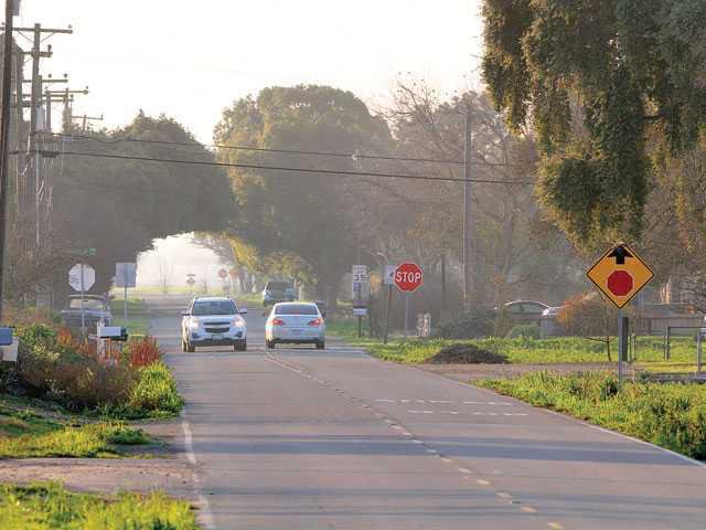

The solution to protecting southwest Manteca from a 200-year flood will help determine exactly where the controversial proposed alignment of the future Raymus Expressway will swing through the rural countryside.
And by default, the levee’s eventual alignment will determine the furthest urbanization will advance to the southwest of Manteca.
That’s because California law prohibits development in known floodplains after July 1, 2016 unless plans are underway to put in improvements to protect them.
Preliminary plans by Reclamation District 17 would extend an existing dry levee eastward across Airport Way following a path in between Fig Avenue and Peach Avenue and ending short of Union Road.
The dry levee — also known as a cross-levee — would also be widened and its height increased. Currently the levee ends at a point south of Woodward Avenue east of McKinley Avenue.
Both the levee and ultimate route of Raymus Expressway will have major impacts on rural residents who live on small parcels or farm along Peach and Fig avenues.
It is why Neighbors United — a community-based action group — went on record at Tuesday’s City Council meeting to make sure the public is informed anytime the alignment of either the levee or expressway is being considered.
The area is currently outside city limits but is within Manteca’s sphere of influence. The sphere includes areas of land that county planners have agreed are logical future areas for the city to grow.
The levee work needed to protect both Manteca and Lathrop areas at risk of flooding has been placed at $150 million.
The area southwest of Manteca has flooded nine times since 1929. The last time was in 1997 when nine breaches flooded 70 square miles between Manteca and Tracy causing $100 million in losses and damaging more than 600 homes and other buildings.
The cross-levee that parallels Woodward Avenue west of Airport Way nearly failed in 1997. Back then, there were just a few homes in the area that would have been flooded. Caltrans plugged the McKinley underpass of the Highway 120 Bypass at the time as a back-up levee in case the cross levee failed.
Now there are several hundred tract homes in the area.
Over a thousand property owners southwest of Manteca – including a number within the city limits – will find it difficult to build structures of any consequence on their land starting on July 1, 2016. unless Lathrop and Manteca move forward with levee improvements.
The California Legislature passed a law in 2007 that basically restricts building in 200-year floodplains unless levees are upgraded. Without levees that are put in place to protect against so-called “200-year events” – which refers to the intensity and not the frequency – no one will be able to build structures on their property unless it is raised out of the floodplain by placing them on top of earthen mounds or elevating them using stilts or block.
A small part of Manteca southwest of Airport Way and the Highway 120 Bypass is in the 100-year flood plain. The 200-year floodplain is a much wider swath. It runs to a ridgeline that ends up just south of Nile Garden School. Much of the area west of a point about midway between Tinnin Road and Union Road and starting at a point south of Woodward Avenue is in the 200-year designation.
The city had at one time explored the possibility of pursuing levee improvements as far south as Nile Garden. Now improvements are being focused on extending the current levee that parallels Woodward Avenue west of Airport Way and extending it to a point roughly midway between Union Road and Tinnin Road.
Preliminary estimates made last year indicated the levee could be 80 feet wide and six feet high to the west of Airport Way, and 50 feet wide and four feet high east of Airport Way. It would be 40 feet wide and four feet high east if it is extended east of Union Road.
The envisioned Raymus Expressway would connect with the proposed Raymus interchange about midway between the Austin Road and Jack Tone Road interchanges. The road would run east-west to serve as the main access to the 1,050-acre Austin Road Business Park project. It would curve to the northwest to connect with the new alignment of McKinley Avenue. Part of that new alignment is already in place along the western edge of a d developed neighborhood east of McKinley Avenue.

