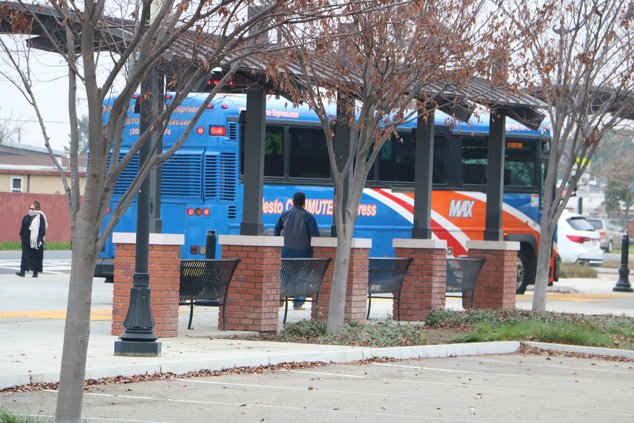
Possible record highs this week could accelerate evaporation of the critical Sierra snowpack.
At the same time high winds and warm temperatures anticipated for Monday has prompted the National Weather Service to issue its first fire weather warning of 2022 for the valley and foothills.
Based on forecasts Manteca-Stockton could surpass record high marks on Thursday, Friday, and Saturday.
The forecast for Thursday calls for a high of 75, on Friday a high of 75, and on Saturday a high of 77. That compares to records of 74 in 2018 for Feb. 10, 74 in 2016 for Feb. 11, and 72 in 2015.
Manteca’s high reached 70 degrees on Tuesday for the first time this year.
If Manteca reaches the mid-70s by this weekend it’ll be cool compared to Redding where a high of 83 is expected Thursday and Friday to top records of 80 for Feb. 10 and 82 for Feb. 11 set in 1971.
The pressure system is also sending Southern California temperature to unseasonable highs. The temperature reached 81 degrees in Death Valley Monday and are expected to top out at 88 degrees Friday before starting to slide back down to 81 degrees Monday before dropping off to 67 degrees Tuesday. The average temperature range for February in Death Valley is 46 to 74 degrees.
Wind gusts are expected to reach 30 miles per hour this week in the upper Sacramento Valley and 15 mph in the Manteca-Stockton area today. But by Monday there is a potential for much stronger north and east win to increase fire conditions, according to the National Weather Service.
The biggest threat from warm weather is in the higher elevations.
After record snowfall during December based on measurements dating back to the 1850s in several areas of the Sierra, the state was hit with a dry January to accelerate the snow’s surface evaporation. That is what led to State Department of Water Resources measuring a below average water content in the snowpack on Feb. 1.
Given the Sierra snowpack provides more than 40 percent of California’s water needs a spell of above average temperatures with less than six weeks of winter left is not a positive development.
Two thirds of the state is in severe drought conditions including the San Joaquin and Sacramento valleys as well as almost the entire Sierra. There is no place in the state that isn’t in drought conditions of some degree.
In the South County the warmer than normal temperature coupled with strong winds will further dry out the spoil. A spot check of orchards in the Manteca-Ripon area last week indicated measurable moisture content in the soil was at least an inch below the surface.
New Melones Reservoir — the linchpin of storage on the Stanislaus watershed that South San Joaquin Irrigation depends to supply water for agriculture as well as to the cities of Manteca, Lathrop, and Tracy was at 70 percent of normal for Feb. 8. That translates into the 2.4-million acre foot reservoir being 41 percent full.
As of last week, hydrology was showing as conditions currently exist there will be less than 600,000 acre feet — the amount of water the SSJID and Tri-Dam partner Oakdale Irrigation District are entitled to each year — generated by this year’s snowpack.
To contact Dennis Wyatt, email dwyatt@mantecabulletin.com


