There was an earthquake a week ago about 25 miles southwest of Manteca in rural Tracy.
No one in Manteca — or above the epicenter south of Tracy — felt the earthquake recorded by the United States Geological Survey.
The quake occurred just over seven miles below the surface.
It was one of four quakes recorded within 150 miles of Manteca in the last week, 23 in the last 30 days, and 703 in the last 365 days.
There are earthquakes ever hour somewhere in California.
But unless they are over 3.0, you will not feel them. The smaller ones are all detected by sensors.
California — in any given year — records between 12,000 and 14,000 quakes.
It is why it isn’t news — at least to Californians — when the USGS reported nearly 75 percent of the United States is facing an earthquake causing serious damage over the next 100 years.
In California, the state Office of Emergency Services has long noted that 70 percent of Californians live within 30 miles of the potential epicenter of a major quake.
And the odds are those impacted areas will be shaken with a significant quake within the next 50 years.
Those quakes that occur along the San Andreas Fault are helping move tectonic plates between 30 millimeters and 50 millimeters a year. At that pace, Los Angeles will be adjacent to San Francisco in 20 million years.
Faults near Manteca
To see what land looks like along the fault nearest to Manteca, head south out of Manteca on Airport Way and across the San Joaquin River.
At that point you are roughly 10 miles southwest of downtown Manteca and are also almost on top of the closest earthquake fault to Manteca — the Vernalis Fault.
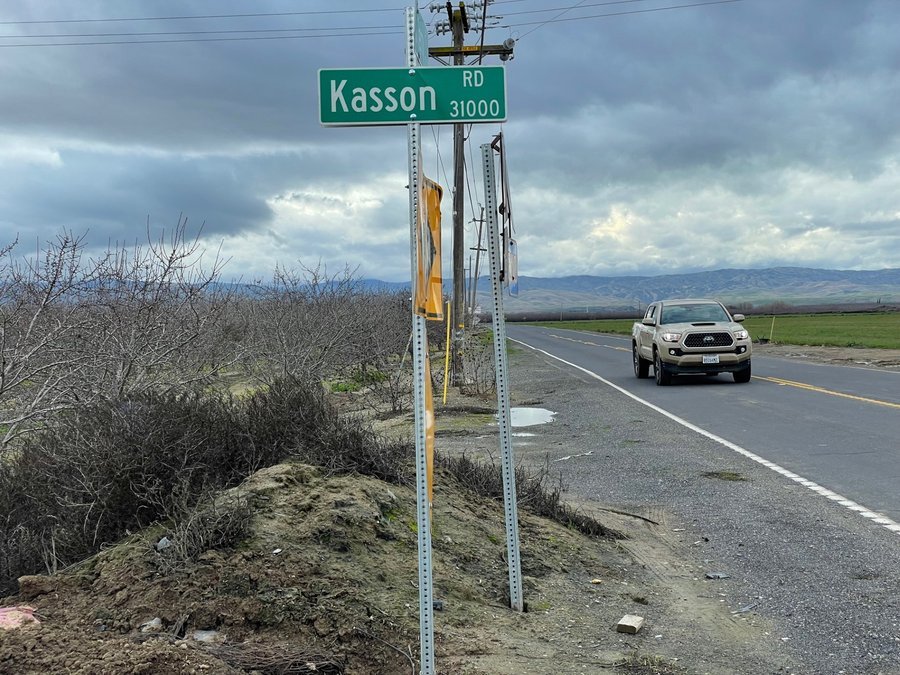
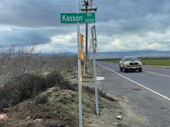
It starts near Dairy Road south of Highway 132 in Stanislaus County. It then runs north eventually paralleling Kasson Road, passing by the shuttered Deuel Vocational Institute and Banta before ending near the Old River northeast of Tracy.
According to the United States Geological Survey this is the inferred location.
That’s because while it ranks as one of the state’s 500 most active faults — California has 15,700 earthquake faults — it hasn’t warranted much attention or mapping due to its low level of seismic activity.
There are three other known faults nearby.
The Tracy-Stockton fault that runs under Stockton had significant shaking in 1881 and 1940. The epicenter of both quakes was in Linden.
The1940 event was 4.0 on the Richter scale. By comparison the 1989 Loma Prieta quake registered at 6.9 on the Richter scale.
The San Joaquin fault that runs along the base of the Coastal Ranges from east of Newman to east of Tracy.
Then there is the Corral Hollow Fault a scientist discovered to the southwest of Tracy in 1991.
Few faults are found actually in the Great Central Valley as the forces shaping California are found in the volcanic created Sierra and tectonic plates.
Active when it comes to quakes and volcanoes is a relative concept.
The Long Valley Caldera — identified as one of California’s most active volcanoes as well as its largest that is about 200 miles east of Manteca just south of a Highway 120 on the way to Benton — last erupted 760,000 years ago.
In comparison, Mt. Lassen in the north state erupted in 1917.
Fault lines for the most part have substantially shorter time periods between significant events.
The San Andreas Fault is in the high end of such a scale and the Vernalis Fault in the low end.
That means in Manteca, Lathrop, and Ripon you will likely feel shaking from a San Andreas quake 60 miles to the west more than once in your lifetime yet never feel any movement from the Vernalis Fault during the same time frame.
The fact the Loma Prieta earthquake on Oct. 17, 1989 happened during the World Series that was an all Bay Area affair meant commute traffic was lighter than normal. But given the double deck Nimtz Freeway in Oakland pancaked and crushed to death 42 people driving on the bottom level and a section of the upper level of the Bay Bridge collapsed, all bridges across the bay were shut down.
The damage in Manteca — some 90 miles away — was limited to cracked patios and swimming pools. Also, more than a few residents that had swimming pools reported water sloshing out.
Earthquakes happen
throughout the US
Earthquakes are everywhere.
The 1812 New Madrid quake estimated to be significantly more powerful at an estimated 8.2 compared to the 6.9 Loma Prieta was so strong that it realigned segments of the Mississippi River and caused the river to flow backwards for serval hours.
Its biggest aftershock at 7.4 was much stronger than the 1989 Bay Area quake. The Great San Francisco Quake of 1906 was pegged at between 7.7 and 7.9 on the Richter scale.
A team of more than USGS 50 scientists and engineers has created a map of the areas most at risk in the United States based on seismic studies, historical geological data and the latest data-collection technologies.
They were able to identify nearly 500 additional fault lines that could produce damaging earthquakes.
In the last 200 years, 37 U.S. states have seen earthquakes exceeding magnitude 5, "highlighting a long history of seismic activity across this country," the USGS noted.
The new model shows that the seismically active regions of California and Alaska are at the most risk of earthquakes.
There are about 10,000 earthquakes a year in the Southern California area, though most of them are not felt. Only around 15-20 are greater than magnitude 4.0.
Researchers said they also found the possibility of more damaging earthquakes along the central and northeastern Atlantic Coastal corridor, including in Washington, D.C., Philadelphia, New York and Boston.
To contact Dennis Wyatt, email dwyatt@mantecabulletin.com