The first wave of the massive Pacific storm that had municipalities across California worried about how they would fare has passed.
And the City of Lathrop has weathered the storm better than expected.
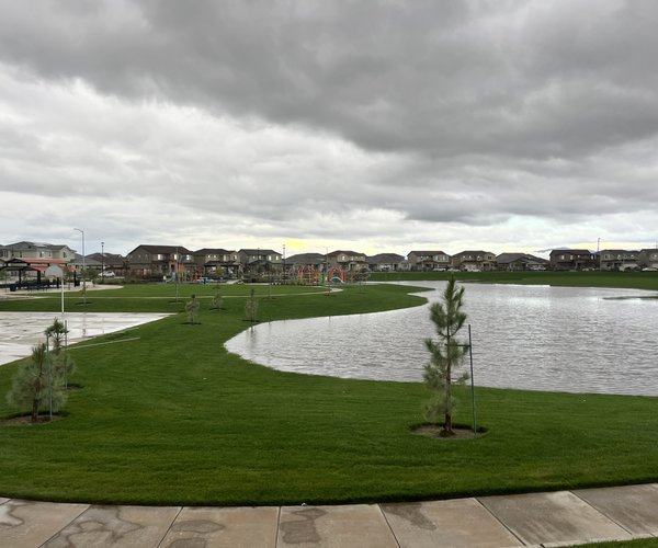
According to Mayor Sonny Dhaliwal, only minor street flooding and some small puddles forming came as the result of the first portion of the storm that prompted the city to issue warnings to residents about what to do in the event of a disaster and where to get emergency information if things took a turn for the worst.
“The city’s departments have worked very well together to inform residents – our police, fire, public works and parks and recreation departments,” Dhaliwal said. “Everybody was sure that they would be prepared for any eventualities, but so far things are going well and I’m happy with the preparation that we’ve done as a community to keep our residents safe.
“The city has taken a very proactive approach to ensure safety.”
The last time a major storm front of this magnitude rolled across Northern California, it ultimately led to the flooding of 1997 – a series of breaches along the San Joaquin River that put farmland that are now new homes as much as 8-feet under water for an extended period.
But the circumstances surrounding the two storms are starkly different than they were 20 years ago. With California in the middle of its worst drought on record, water experts and managers have far more storage capacity to prepare for the storm than they did in 1997. Before the first raindrops fell when the system rolled in, New Melones Reservoir – the largest storage basin on the Stanislaus River – was only 27 percent full. Friant Dam at Millerton Lake – the closest dam on the San Joaquin River – was only at 72 percent capacity.
The land south of the San Joaquin River at Stewart Tract, which is now home to the River Islands subdivision, is now protected by massive super levees that are certified withstand a 300-year flood.
And if the financial aspects of the SB5 compliance that the City of Lathrop is currently working to organize can be put together, the levees within Reclamation District 17 – which protect Lathrop as well as portion of rural Manteca – will be certified to withstand a 200-year flood. That piece of legislations was introduced in the wake of the widespread flooding of two decades ago, and because of the high price tag, still hasn’t come to fruition in many parts of the State of California.
Even though the first part of the storm didn’t do any damage, Dhaliwal said that the city will remain vigilant in monitoring conditions and staying up to date with the most current information to protect residents.
A 24-hour sand bag station is still available at the city’s old corporation yard on 7th Street for residents who wish to go fill up sand bags to protect their homes.
To contact reporter Jason Campbell email jcampbell@mantecabulletin.com or call 209.249.3544.
Lathrop weathers first storm wave with little flooding