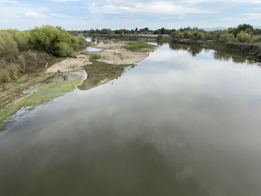

Dredging the San Joaquin River as it meanders through the South Delta could become part of a larger strategy to provide more robust water supplies for California and increase the survival rate of threated Chinook salmon.
It’s the goal of the Greater Valley Farm Water Partnership (GVFWP) consisting of 13 growers in the Delta as well as south of the Delta that was formed more than two years ago.
The need to dredge is based on the natural process that started more than 250 million years ago filling in what was once a massive island sea to give birth to the Great Central Valley.
Dredging the river and Delta waterways happened to various degrees over roughly a century until environmental successfully were able to basically stop it in the 1970s.
The GVFWP asserts on its website “Delta channels, particularly those in the South Delta, suffer from diminished capacity due to siltation, or excess sediment, much of which is deposited during high flow events such as occurred in 2017.”
“Silt accumulation fundamentally alters the hydrodynamics of Delta channels, decreasing the amount of flow which can travel into and through the channels.”
Removing excess silt build up — which reduces the volume of water river channels can carry especially during high flows caused by sustained rain or rapid Sierra snowmelt — is expected to:
*enhance the ecosystem, including creating deeper channels with cooler water critical to the survival of the threatened Chinook salmon that are often “helped” by large impulse flows to deepen water and cool the temperatures during critical migration seasons.
*be able to dial back water releases from reservoirs ahead of expected rapid snowmelt or major rain storms in the higher elevation to create more storage for flood control. That, in turn, would lead to the capture of more water for urban and farm uses.
*improve the quality of drinking water as the Delta itself would have a greater capacity to hold water to counter the creation of brackish water from salt water intrusion.
*less water needed to cool waters for native fish such as the salmon would allow more water to be sent by pumps into the California Aqueduct and Delta-Mendota Canal.
*water temperature reduction minimizes growth of invasive aquatic plant species and reduces toxic algae blooms.
Historic river uses by wheat
barges south of Mossdale
Back in the 1860s and 1870s the river was deep enough for river barges to take grain loaded at San Joaquin City that was located south of the Airport Way crossing near the San Joaquin River’s confluence with the Stanislaus River and transport it to San Francisco.
What ended the barge movements south of Mossdale by the 1880s wasn’t the lack of water flow but the fact shipping wheat by rail out of Stockton was quicker and less expensive.
Thirty-four years ago, near the tail end of the 1986 to 1992 drought, the late Alex Hildebrand on a walk along the levee near his farm south of Manteca pointed to sand bars in the river that weren’t there 40 years prior.
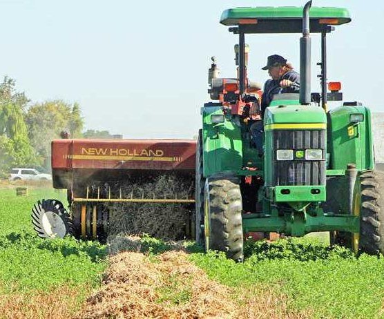
They are the byproduct not only of high water flows that move sediment downstream, but also silt laden run-off that came from extensive irrigation on the Westside before new rules governing water use were put in place. The silt was dumped into the San Joaquin River near Vernalis.
Hildebrand, a past Sierra Club president, shared in 1992, there is anecdotal evidence that silt build up has raised the river bottom six or so feet since the 1950s. That was primarily due to silt run-off from water being returned to the San Joaquin River from the valley’s Westside.
That build up has meant less water capacity for the river to handle high flood events especially rom Vernalis to where the Old River splits off the main channel west of Mossdale.
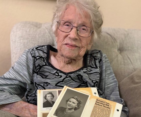
Today, Hildebrand’s daughter Mary — who farms south of Manteca and serves on the South Delta Water Agency Board as her father did — is part of the Great Valley Farmer Water Partnership advocating dredging among other Delta water fixes.
The group has identified 75 miles of channels they’d like to see initially dredged that are considered critical for the export of water.
The cost is estimated to be an average of $10 million a mile.
Alex Hildebrand believed dredging was one of many needed fixes and repeatedly told state water officials and elected officials in Sacramento that it was critical step to reduce the odds of a repeat of the 1997 floods south of Manteca.
Then State Senator Mike Machado pushed to have language added to the $2 billion state water bond approved by voters as Proposition 13 in 2000 that earmarked $45 million for flood control projects and studies.
Nothing ended up being spelled out specifically about conducting a feasibility study of dredging the San Joaquin River segment between Vernalis and Mossdale.
That said, Machado encouraged local leaders to push for such funding if the bond was approved.
The state legislature ended up commandeering $1 billion to help cover Department of Water Resources’ operational budgets during Sacramento’s cyclical budget crises to effectively wipe out money for many flood control endeavors.
At the same time, though, local leaders never mounted an organized effort to get the state to do a feasibility study to determine if dredging was an effective way to increase the river volume.
To contact Dennis Wyatt, email dwyatt@mantecabulletin.com