
Two back-to-back storms could drop upwards of 12 inches of snow in spots in the Sierra while possibly bringing upwards of 1.2 inches of rain to the Manteca-Lathrop-Ripon area over a four-day period.
The first storm is the weaker of the two.
It will pass through the region Wednesday and Thursday.
Snow levels will be as low as 5,000 to 6,000 feet.
Wednesday will be the heaviest day of the first storm.
Anywhere from 0.1 to 0.2 inches of rain is being forecast for the National Weather Service in the valley. There could be as much as 2 to 4 inches of snow in the Sierra.
The second storm will hit the area on Feriday and Saturday, with the first day being the heaviest.
Rain accumulation in San Joaquin County could be between 0.5 and 1 inch.
Snow in spots in the Sierra could be as much as 8 inches.
The snow level is expected to be between 5,500 and 6,500 feet.
The snow is expected to significantly improve conditions at Dodge Ridge, Yosemite Ski, and Bear Valley just in time for the winter break.
Caltrans emphasized the need to carry chains heading into the mountains.
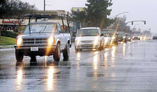
In the valley, slick roads are expected to be an issue with minimal wind debris.
That said, the City of Manteca asks that homeowners clear street gutters of leaves to avoid water backing up.
City crews have been removing leaves and will continue to do so through Jan. 4 on the day after scheduled street sweeping.
Theya also will work to keep storm drains clear during the storms.
Also, the city wants to remind residents that garbage collection days have been pushed back a day throughout the holidays to a Tuesday through Saturday schedule instead of the usual Monday through Friday.
To contact Dennis Wyatt, email dwyatt@mantecabulletin.com