Editor’s note: This is an occasional series on California’s water issues, storage and conveyance systems as well as the current drought.
The waters of the Tuolumne River flow through Modesto two ways.
One is in the natural riverbed that cuts through the city just south of downtown.
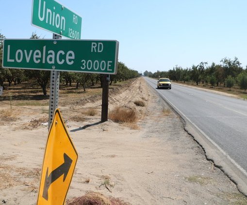
The other is in the original “Delta bypass tunnel” — the 46.7 mile pipeline across the San Joaquin Valley beneath the Hetch Hetchy Trail that moves water diverted from the reservoir the urban trail is named after.
The pipeline since 1934 has been delivering water to the City of San Francisco after Congress in 1913 granted it permission to build a dam in Yosemite National Park. The Raker Act — for an annual payment of $30,000 — allowed the city that prides itself on strong ties to the environmental movement through such organizations as the Sierra Club — to flood the Hetch Hetchy Valley.
The valley — viewed as a smaller version of the iconic Yosemite Valley — is the last dam to be built within a national park. It was viewed by John Muir as an act of desecration.
As such San Francisco, just like Los Angeles with its foray into the Owens Valley, supported it’s growth that exceeded the ability of the natural water basin to support by committing environmental damage to a distant valley.
Flooding the valley the Tuolumne River once flowed through freely is not the only consequential and lasting environmental impact.
The 146-mile diversion of Hetch Hetchy water out of the Tuolumne before it reaches the Delta has put additional pressure on the Stanislaus and Merced rivers — as well as farmers and cities that depend upon them — to address fish flows and clarity issues in the San Joaquin River and by extension the Delta.
That is especially true during periods of drought.
Unlike water Los Angeles takes from the Sierra, none of the water diverted at Hetch Hetchy flows through the Delta to contribute to fish flow and other environmental issues before continuing its journey to urban faucets. The Delta tunnel pursued by the Metropolitan Water District that is the biggest wheeler of water in Southern California and big agricultural interests essentially would prevent water they procure from the Sacramento River watershed from flowing through the Delta as well where it is subject to court orders and legislative mandates regarding minimum flows for fish and the environment.
It is not a small point.
The Tuolumne River has the largest natural flows of all the southern Sierra rivers at 1,850,000 acre feet a year. The Hetch Hetchy diversion has greatly diminished its flow into the San Joaquin River and ultimately the Delta. The lowest flow at its mouth was 134,000 acre feet in the drought year of 1977. That is less than a tenth of an average year.
San Francisco — that also has a substantial water bank in the 2.03 million acre foot Don Pedro Reservoir that supplies Modesto Irrigation District and Turlock Irrigation District — has resisted efforts to make the city pay “market price” for use of the land they flooded. At the same time they have steadfast refused to honor segments of the Raker Act that require development of recreational uses for the 360,000 acre feet of water captured behind the O’Shaughnessy Dam that flooded Hetch Hetchy.
Hetch Hetchy is an aberration among other western reservoirs and not just because they have escaped a consistent federal mandate for dam projects to have public recreation components as well as being able to flood a national park.
It’s because water captured at Hetch Hetchy comes from the predominately granite covered upper Tuolumne watershed, which allows the water to be exceptionally clean. San Francisco is one of the few cities in the United States allowed not to treat its drinking water although they do use chlorine.
The clarity of the water means silt build-up that ultimately can render a dam useless isn’t much of an issue for Hetch Hetchy.
The San Francisco Hetch Hetchy system serves 2.5 million Bay Area residents. That’s because even though the City of San Francisco owns the major backbone of the system it was authorized by Congress to benefit the greater Bay Area population.
Cities in Santa Clara, Alameda, and San Mateo counties as well as water districts and private utilities that are part of the Bay Area Water Supply and Conservation Agency account for two thirds of the water use and consequently pay for two thirds of the system’s upkeep.
Just over 85 percent of the water used in the Bay Area comes from the Sierra. The remainder is runoff from watersheds on the Peninsula and in the East Bay.
The Hetch Hetchy system consists of 280 miles of pipelines, 60 plus miles of tunnels, 11 reservoirs, five pump stations, and two water treatment plants that deliver an average of 260 million gallons a day.
The watershed stretches as far east as the eastern border of Yosemite National Park. The southeastern most point is the 7-mile long Mt. Lyell fork below the peak of the same name that is the highest point in Yosemite at 13,115 feet. The Mt. Dana fork is five miles long and originates below the 13,046-foot Mt. Dana.
The forks join in Tuolumne Meadows to continue the 149 mile journey to the San Joaquin River.
There are two reservoirs in Yosemite National Park — Lake Eleanor and Hetch Hetchy. The two reservoirs along with the 273,500 acre foot Cherry Valley Reservoir constitute the high Sierra reservoirs above Don Pedro.
The Calaveras and San Antonio reservoirs are in the Coastal Range.
The most visible reservoir in the Bay Area — Crystal Springs on the Peninsula — always appears full because it is the last major reservoir before Tuolumne River runoff enters the City of San Francisco water distribution system.
To contact Dennis Wyatt, email dwyatt@mantecabulletin.com